Multi-use Trails
DPLA has significant experience in the management of long term and large scale public projects such as recreational trail and campground development. Project elements include concept development, working drawings, tendering, and often a public review process which may include open house meetings and questionnaires.
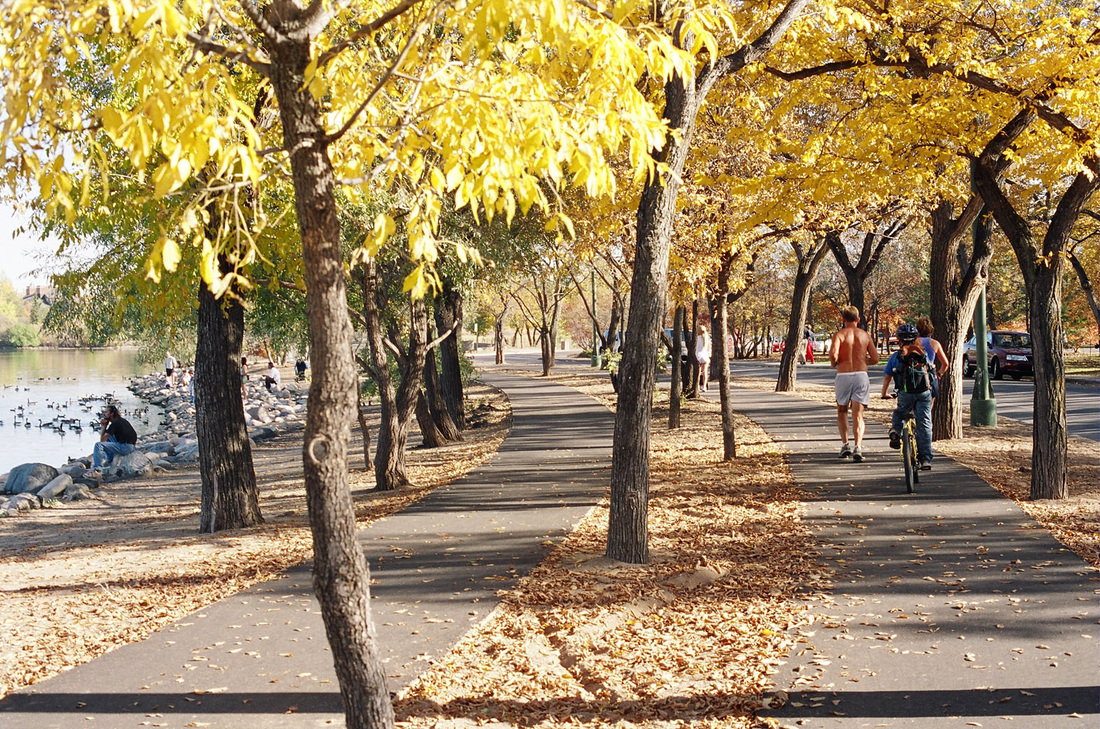
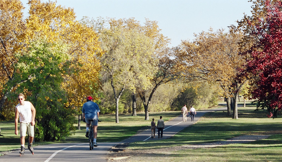
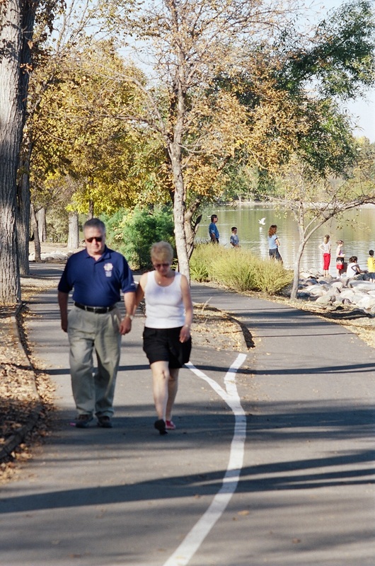
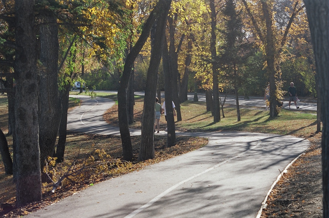
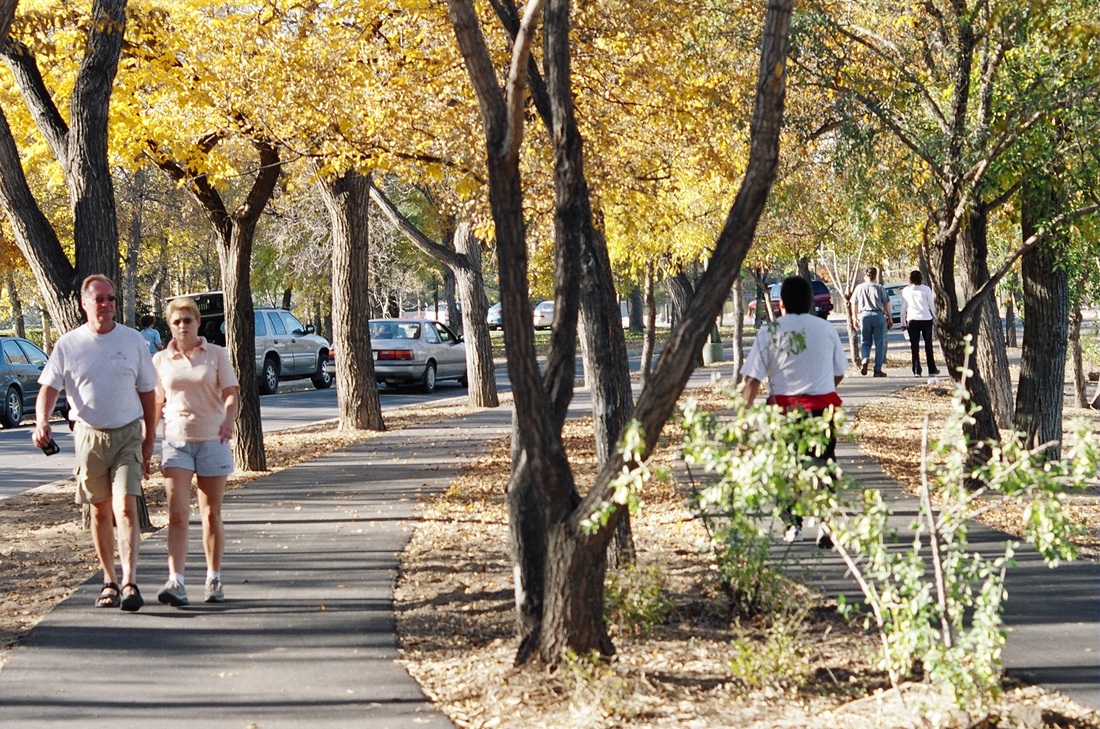
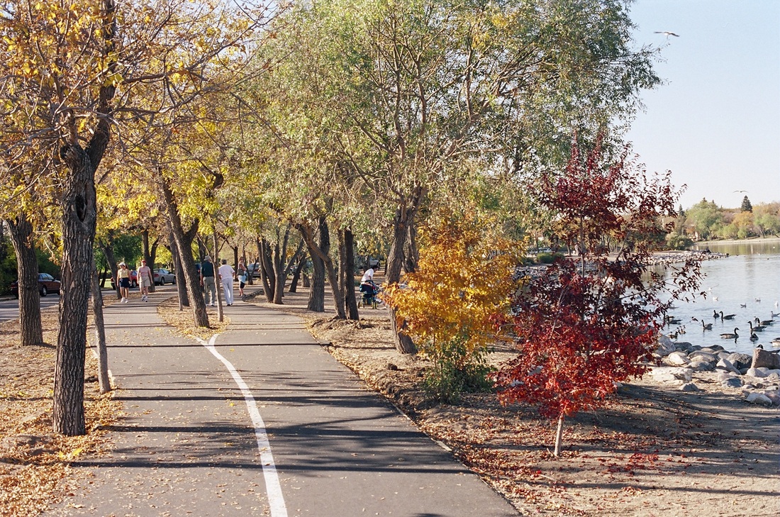
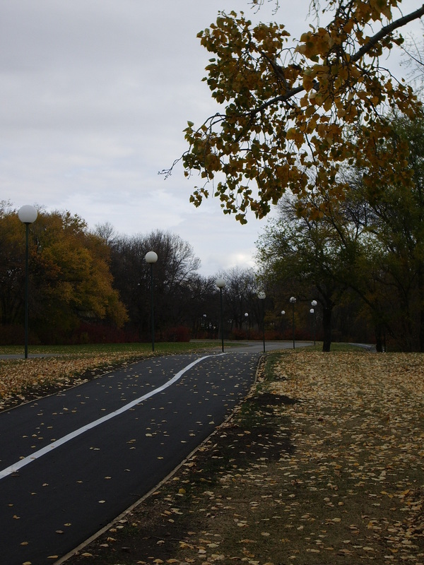
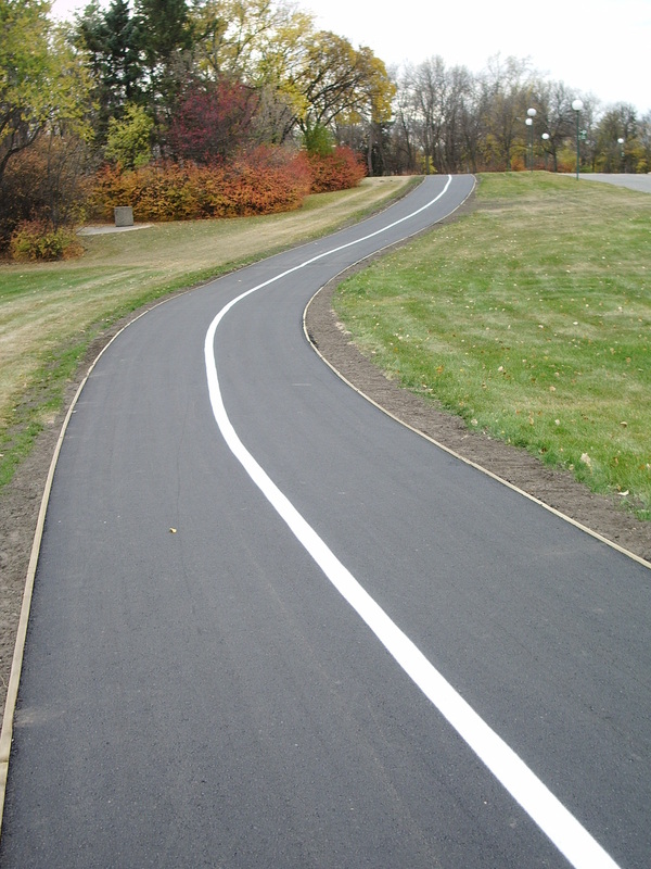
Multi Use Trail, Wascana Lake, Regina SK
|
|
Click photos below to enlarge.


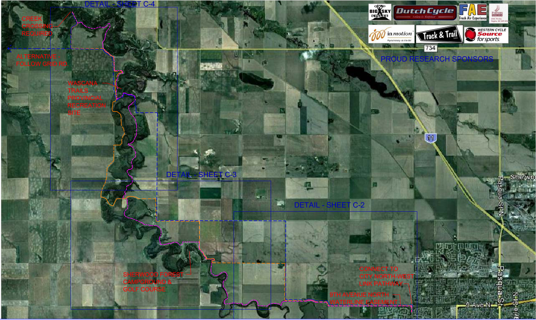
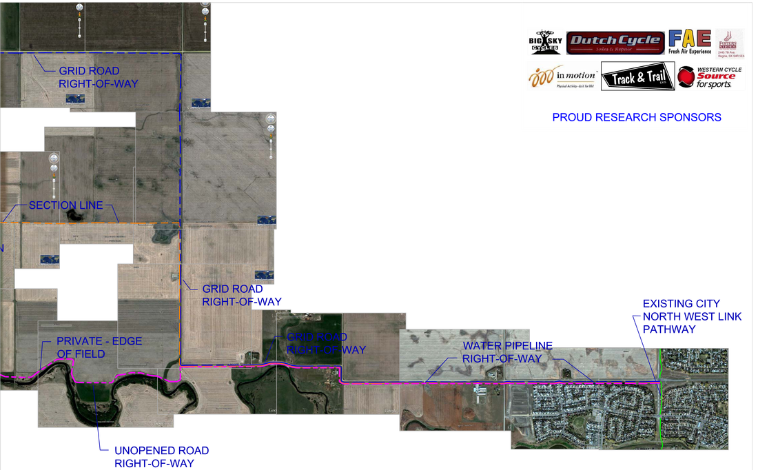
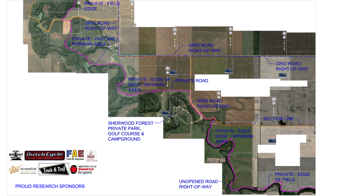
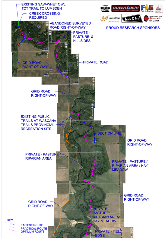
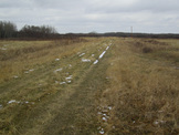
Trans Canada Trail - Deer Valley to Lumsden, SK 2013
Analyzing the landscape north of Regina, SK, DPLA identified three possible routes for the Trans-Canada Trail to connect to the northwest link trail system. Based on site analysis and satellite imagery, DPLA refined the possible pathways to three possibilities: "easiest route," "practical route," and "optimum route." These trails were determined based on complexity of existing site conditions, construction possibilities, and land ownership, all while showcasing the best of the Saskatchewan landscape to TCT users.
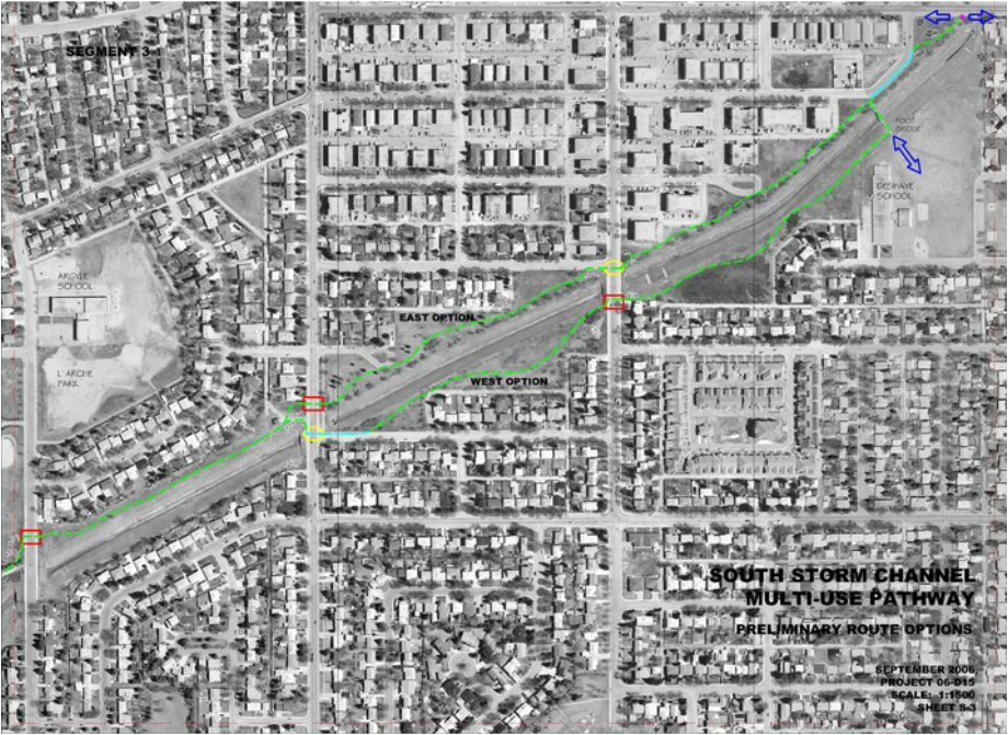
South Storm Channel Pathway, Regina SK
|
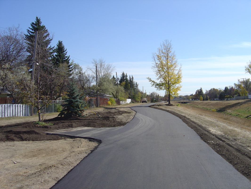
|
Goose Hill Park Trail, Regina SK
Click photos below to enlarge.

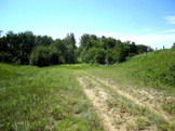
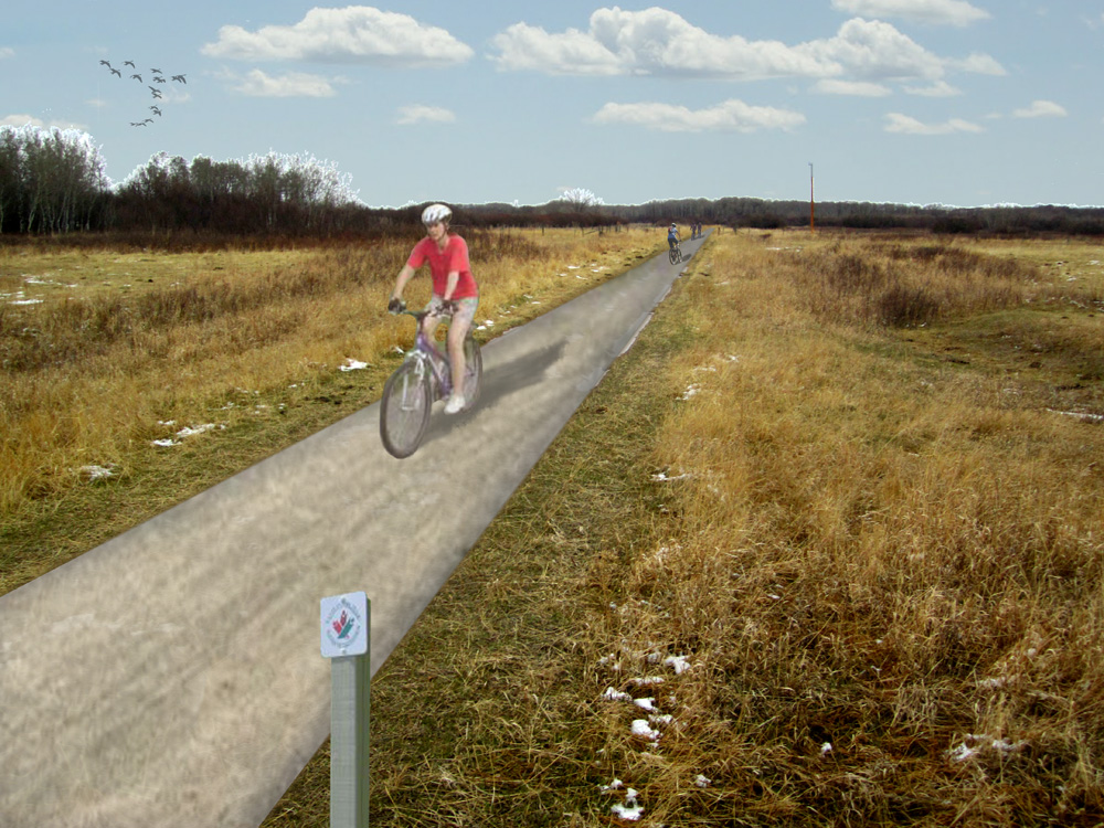
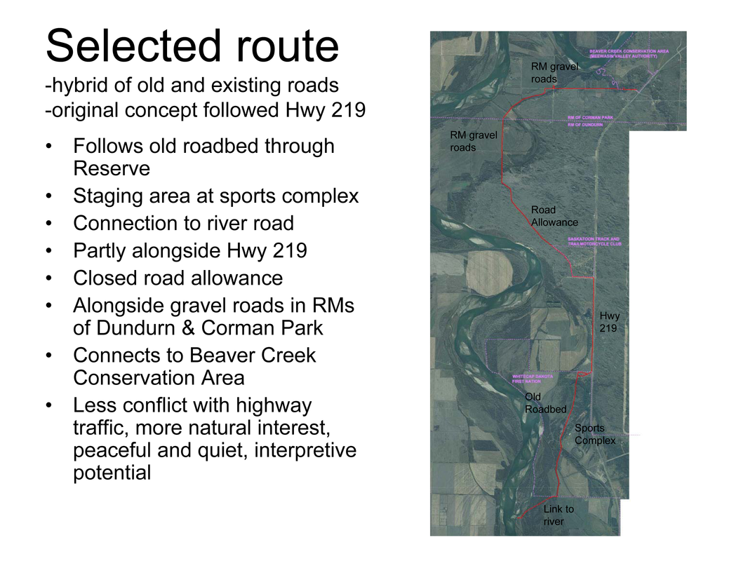
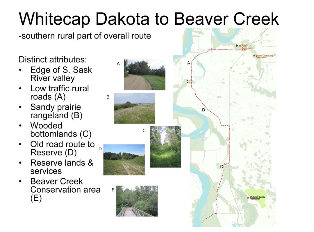
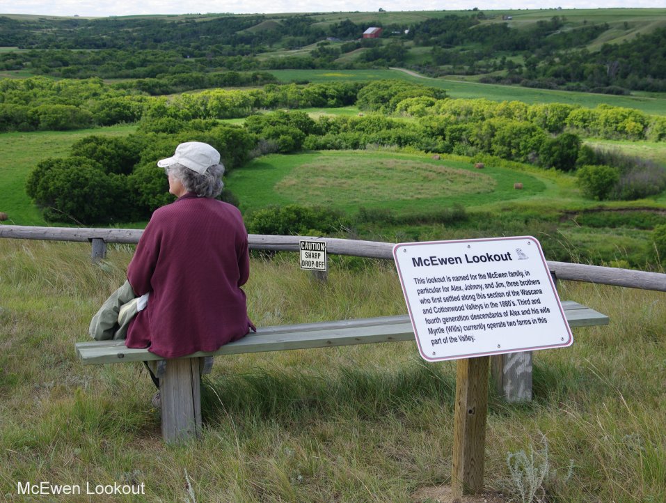
Trans Canada Trail - Whitecap - Dakota to Beaver Creek, SK
As part of the TransCanada Trail, DPLA proposes a segment that utilizes existing road beds, scenic viewpoints, and accessible entry points, all while respecting the inhabitants of the region. With these simple strategies the trail can showcase elements of Saskatchewan's landscape in a safe, enjoyable, and interpretive manner.
Click images below to enlarge.
Existing conditions
|
Proposed pathways
|


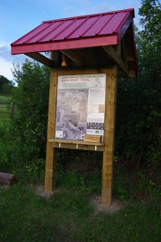
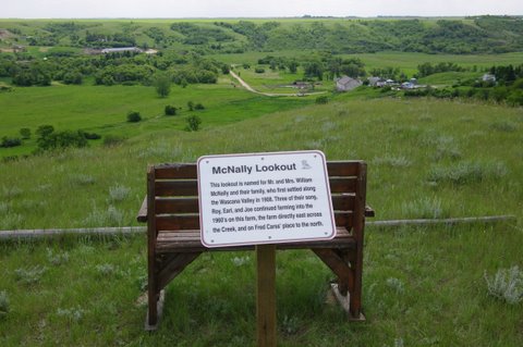
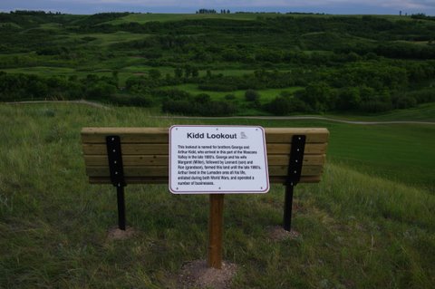
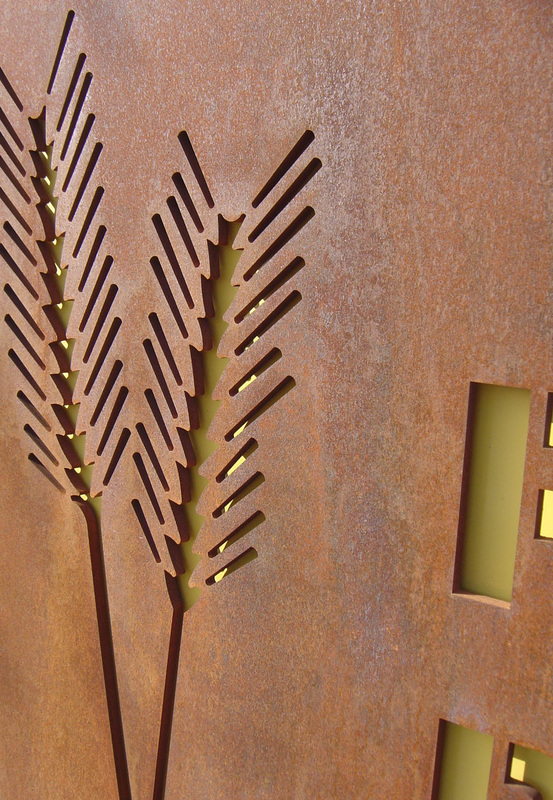
Trans Canada Trail Kiosk and Signage - Lumsden, SK
Click images below to enlarge.
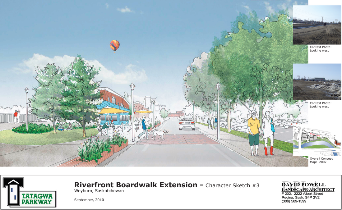
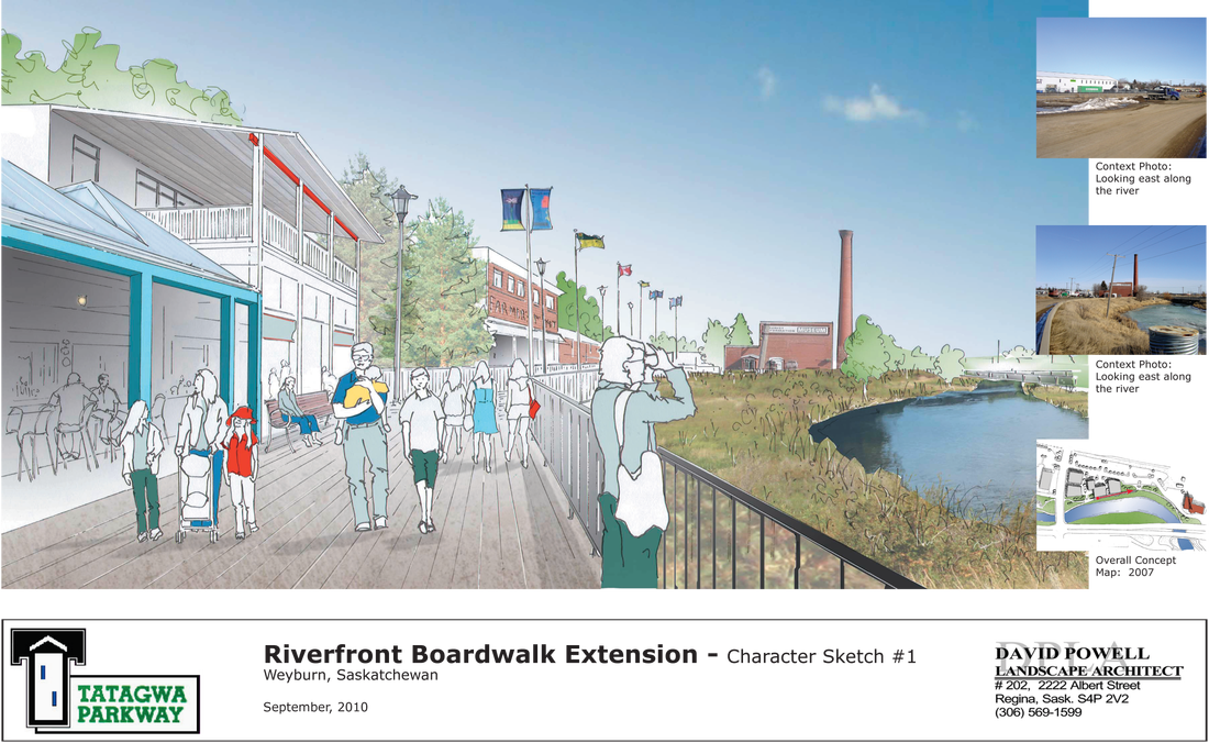
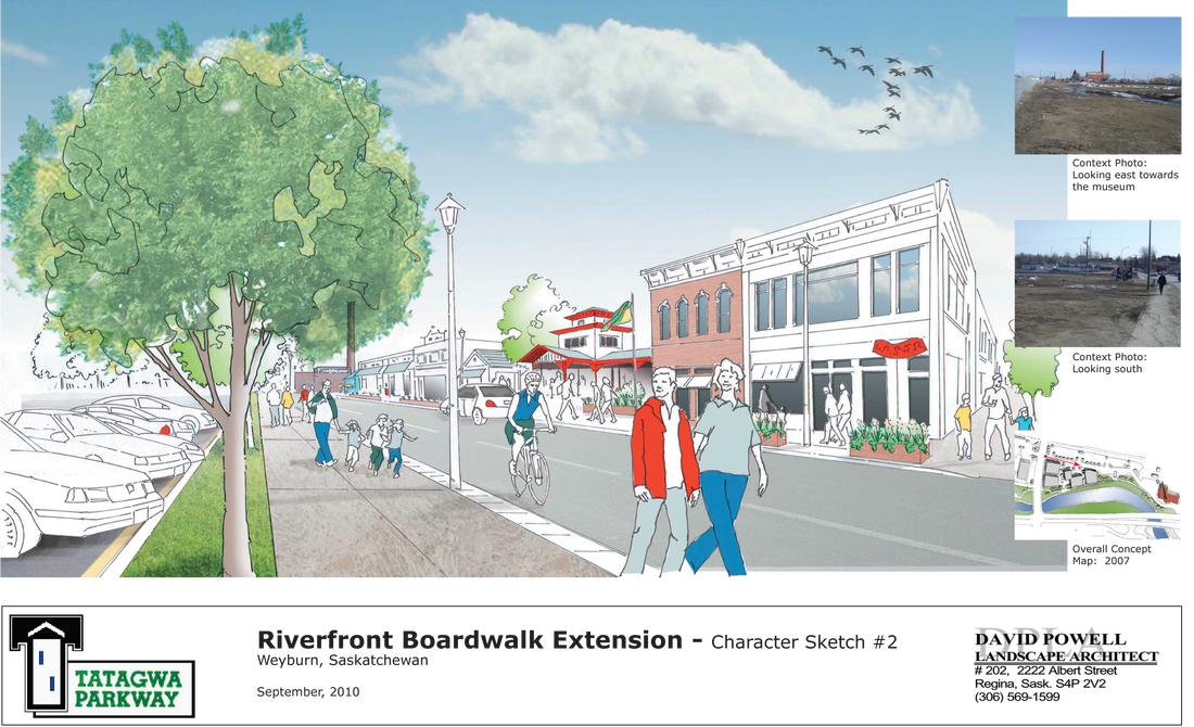
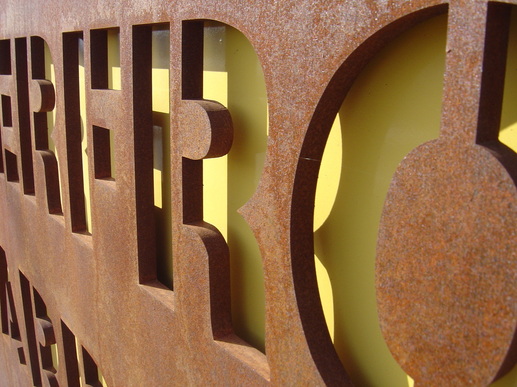
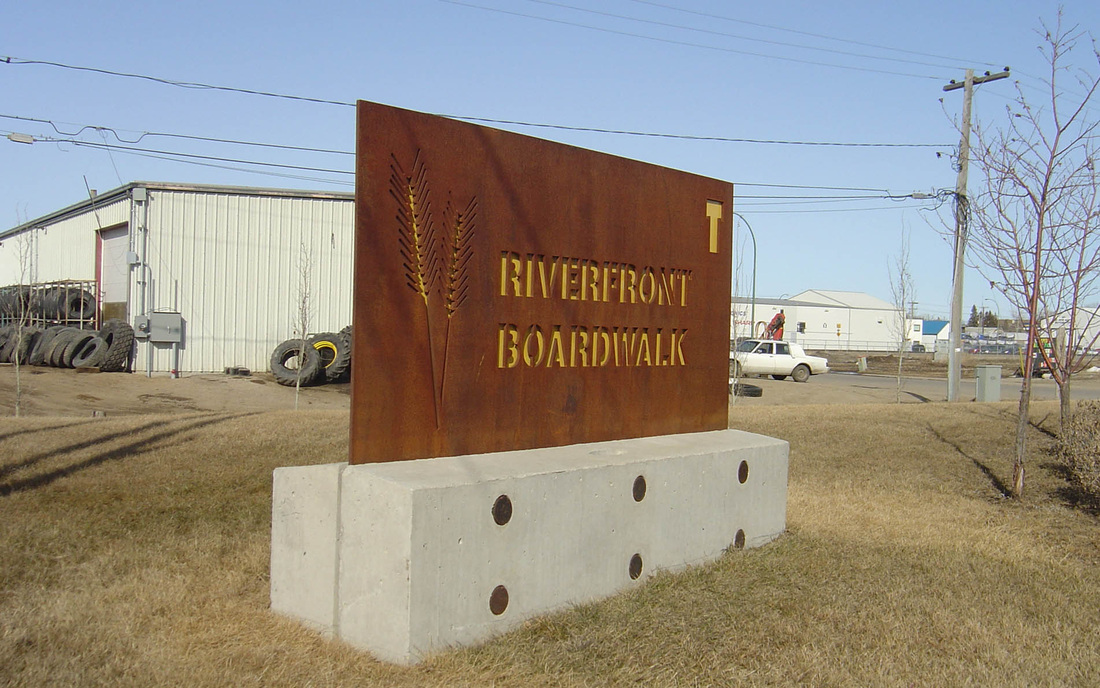
Tatagwa Parkway Character and Signage, Weyburn SK 2007
As part of the Tatagwa Parkway project, DPLA created 'character sketches' that visually describe the proposed character of the boardwalk extension. Through graphic renderings, components of the parkway are given priority: the addition of trees and greenery, a multi-material walk to define spaces with creating physical barriers, and the increase in pedestrian (as opposed to vehicular) rights-of-way.
|
Tatagwa Parkway Signange
|
Click photos below to enlarge.
|

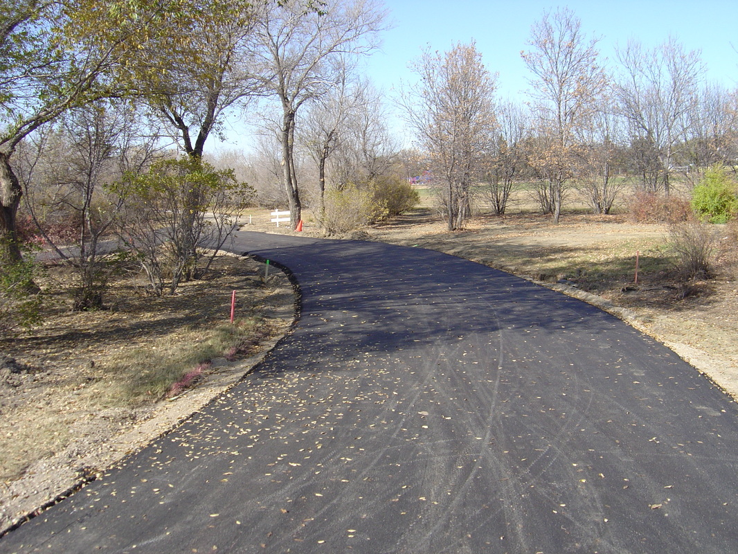
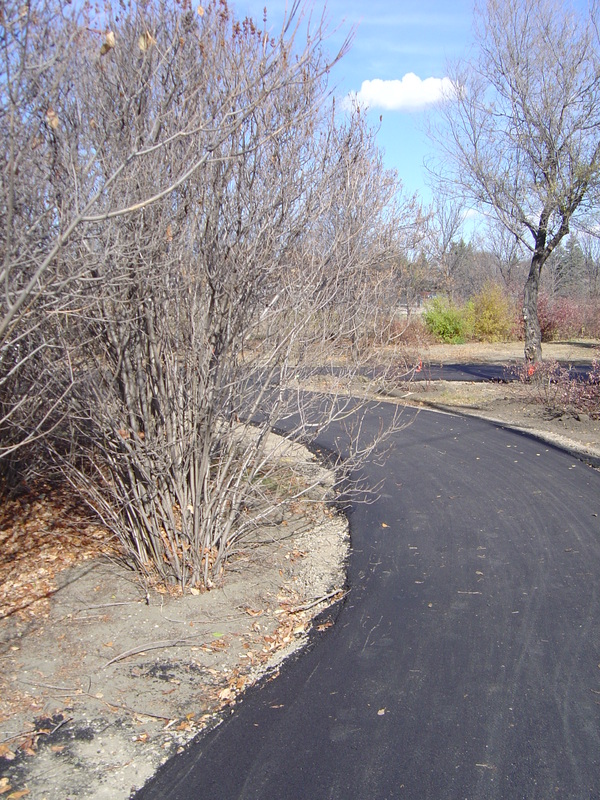
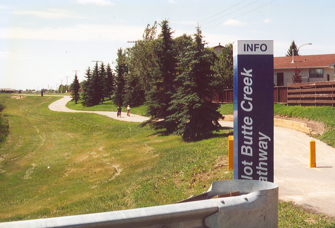
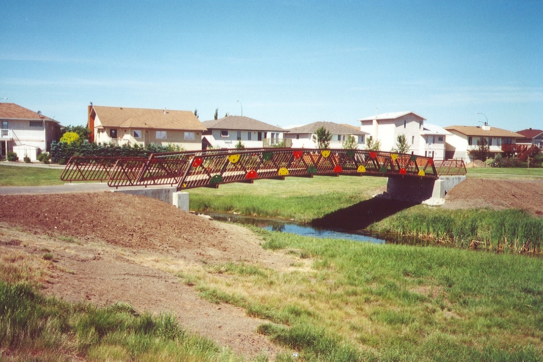
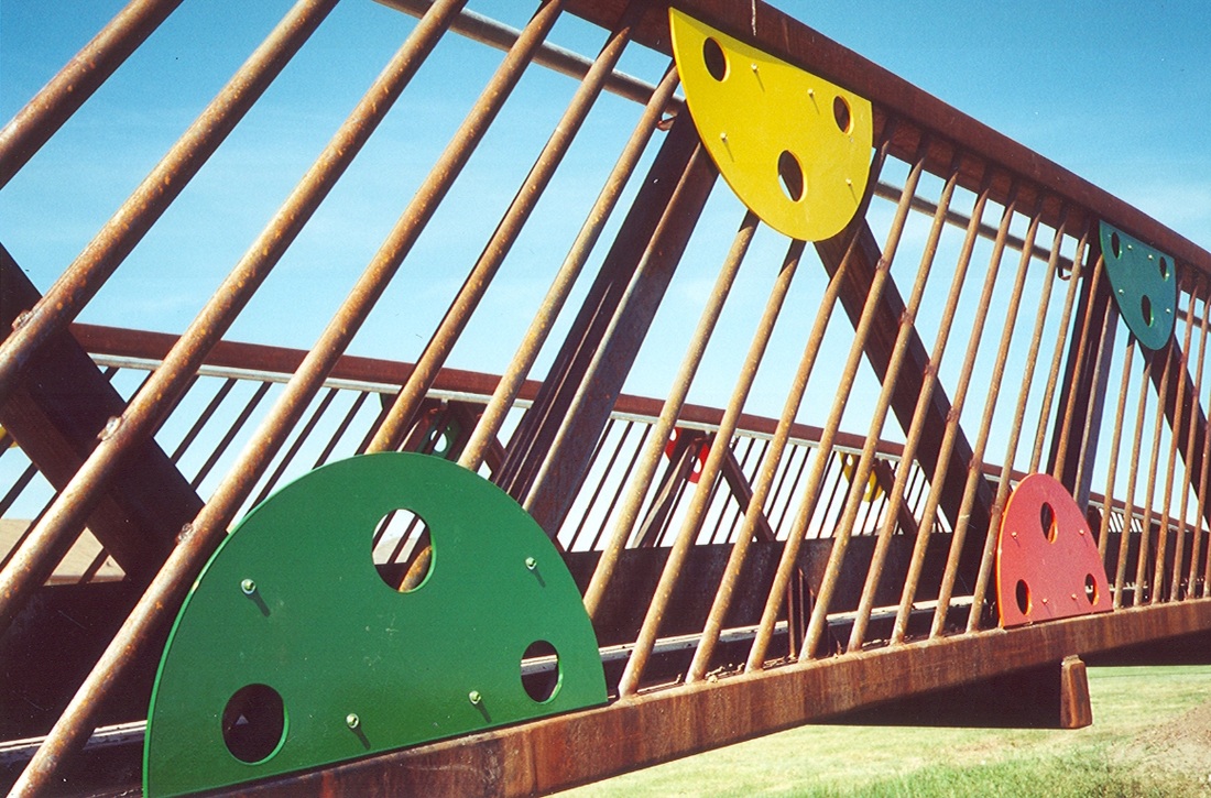
Pilot Butte Creek Pathway, Regina SK 2000
Situated along 3km of Pilot Butte Creek, this pathway provides a connection between several neighborhoods in east Regina and the extensive pathway system throughout the rest of the city. The pathway provides a facility for walking, running, cycling and rollerblading along the creek right-of-way. Other features include seating and viewing areas, a pedestrian bridge and plantings featuring native/drought tolerant species.
Click photos below to enlarge.

CONTACT US
#202 - 2222 Albert Street
Regina, Saskatchewan
S4P 2V2
306 569 1599
[email protected]
[email protected]
#202 - 2222 Albert Street
Regina, Saskatchewan
S4P 2V2
306 569 1599
[email protected]
[email protected]
